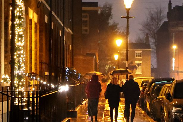
The Met Office issues thunderstorm warnings when the impacts can be ‘very severe’
The Met Office issues thunderstorm warnings (Image: Liverpool ECHO)
Thunderstorms can occur at any time of the year. It is during the summer months when thunderstorms in the UK are most likely to produce large hail, gusty winds, and torrential downpours that can cause disruption to transport networks and damage property.
The Met Office issues thunderstorm warnings when the impacts can be “very severe”, even if they are also very localised so likely to impact fewer people. The weather agency says it’s worth being aware of what you can do to stay safe if you find yourself in an impacted area.
Much of the UK has been covered by weather warnings for thunderstorms and rain over the weekend and into Monday. Two weather warnings have been issued for Liverpool. The first warning has been in place since midnight and will remain in place until 9pm this evening.
The Met Office says: “Heavy rain, with some thunderstorms, may lead to disruption in places on Friday night and through much of Saturday.
“Areas of heavy rain with embedded thunderstorms will move northwestwards across a large swathe of central and eastern England from Friday night into Saturday. Rain will likely be torrential in places, bringing 20-30 mm in less than an hour, with 60-90 mm in 2-3 hours possible in a few places.”
The weather agency says you should “give yourself” the best chance of avoiding delays by “checking” road conditions if driving or bus and train timetables, amending your travel plans if necessary.
Met Office yellow weather warning for thunderstorms on July 19(Image: Met Office)
There are no weather warnings in place for tomorrow that impact Liverpool, but a yellow alert is in place on Monday from 11am until 9pm. The forecast says: “Heavy showers and thunderstorms may lead to flooding and disruption in a few places on Monday.”
A more detailed insight of the warning, states: “Scattered heavy showers and thunderstorms are expected during Monday, especially during the afternoon and early evening. While many will miss the worst conditions, a few places could see 30-50 mm of rain within a couple of hours. Heavy downpours of rain will be the primary hazard, but lightning strikes are also likely, along with the potential for hail.”
The Met Office says you should expect spray and “sudden flooding” that could lead to difficult driving conditions and some road closures. There is a small chance that homes and businesses could be flooded quickly, with damage to some buildings from floodwater or lightning strikes
It also advises people to stay safe, saying: “Prepare to protect your property and people from injury. Before gusty winds arrive, check to ensure moveable objects or temporary structures are well secured. Items include; bins, garden furniture, trampolines, tents, gazebos, sheds, and fences.
“People cope better with power cuts when they have prepared for them in advance. It’s easy to do; consider gathering torches and batteries, a mobile phone power pack and other essential items.”
Yellow weather warning for Liverpool in place on Monday, July 20(Image: Met Office)
The Met Office says: “This weekend will be dominated by a mix of warm, humid air and low pressure, leading to a heightened risk of thunderstorms and heavy downpours. While not everyone will see severe weather, those in the warning area should stay up to date with the latest forecasts and be prepared for possible disruption.”
In its outlook for Monday to Wednesday for the North West, the weather agency says: “Further thundery showers possible on Monday. Staying changeable into the week with drier and brighter periods interspersed by showers. Warm in any sunny spells that do develop and often breezy.”