Simon King
Lead weather presenter
PA Media
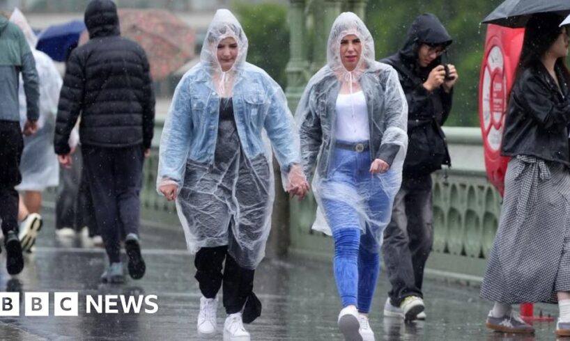
Some took precautions during Saturday’s rain in London
An amber weather warning did not produce the intense rain and flash flooding that was feared on Saturday morning – but more unsettled weather is on the way for much of the UK.
Most of the country was blanketed by yellow rain and thunderstorm warnings, with the Met Office saying this could bring flash flooding, power cuts and disruption to travel.
But the flooding forecast for London and south-east England on Saturday morning did not occur.
Still, a number of flood alerts have been issued around London and Birmingham and yellow weather warnings are in place for different parts of the country across the weekend.
A warning concerning heavy rain and thunderstorms covers Scotland, southern Wales and south-west England on Sunday – with a new yellow thunderstorm alert extended across much of England and into Scotland on Monday.
The wet weekend weather comes after a third heatwave of the year that parched swathes of the UK and led to several hosepipe bans being declared.
The recent warm spell has made flooding more likely and severe as the dry ground is unable to absorb as much water.
The Met Office had earlier warned that London, Cambridge and the south coast could see a month’s worth of rainfall – between 20 and 40mm (0.8-1.6in) in an hour, but in most areas this was not as bad as feared.
The predicted intense downpours did not occur, with Charlwood in Surrey seeing the most rain – 23mm in an hour on Saturday morning – while 14mm fell in an hour in Kenley, Croydon.
As such, the expected flash flooding that prompted the amber warning did not occur – though the yellow warnings indicate more localised and isolated impacts are possible, such as pockets of flooding and large puddles that could cause travel disruption.
Several flood warning were earlier issued by the Environment Agency – for Colindale and Radlett in north-west London – on Saturday afternoon, but have now elapsed. A number of flood alerts remain in place.
PA Media
The yellow thunderstorm warning in place for Saturday afternoon covers all of England except the south-west.
Additional warnings in place are:
Yellow warning for rain covering Cornwall, Devon and into south Wales, from 18:00 on Saturday until 21:00 on SundayYellow warning of rain covering most of Scotland, apart from the Hebrides and some areas of the western coast, from midday on Saturday until midday on SundayOn Monday, from 11:00 to 21:00, a yellow thunderstorm warning covering a swathe of the country from the Kent coastline to Inverness
Yellow alerts indicate a “slight” chance of power cuts, flooding on roads and in properties, as well as some delays and cancellations to train and bus services, according to the Met Office.
Thunderstorms occur when warm, humid air sits below much colder air in the atmosphere. This destabilises the air, allowing deep clouds to form that produce heavy rain – and storms.
This weekend’s storms developed over northern France but they will “grow” as they move north over the eastern half of the UK.
Last week’s heatwave brought travel disruption, a number of water-related deaths and hosepipe bans being declared for millions living in Yorkshire, Kent and Sussex.
One might think a heavy dose of rainfall would help reduce these drought conditions, but because the rain will be very heavy in localised areas, it will run off the dry, baked earth rapidly, potentially overwhelming local sewers and waterways.
A substantial recovery in reservoir and groundwater aquifer levels would require a more sustained spell of wet weather.
Yorkshire’s hosepipe ban is expected to last until winter.
Thunderstorms following a heatwave in the summer of 2022 brought flash flooding to London and the surrounding areas, flooding roads and Tube stations.
The rainfall also caused cancellations and delays at Gatwick Airport.
Additional reporting by Hafsa Khalil