Get the free Morning Headlines email for news from our reporters across the world
Sign up to our free Morning Headlines email
Sign up to our free Morning Headlines email
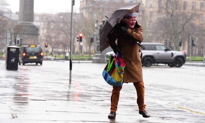
Storm Floris will batter the UK with unseasonably strong winds and heavy downpours next week, the Met Office has warned.
The strongest winds are most likely across Scotland during Monday afternoon and night, with gusts of up to 85mph possible along exposed coasts and hills.
A yellow weather warning for wind is in place in Scotland, Northern Ireland, north Wales and the north of England from 6am on Monday to 6am on Tuesday.
Heavy rain is also expected, with transport disruption possible.
The latest named storm of 2025 in the UK will bring “unusually windy weather” for this time of year, the forecasters said.
Yellow weather warnings have been put in place for Monday across much of north England and Scotland (Met Office)
Many inland parts of the warning area will see westerly gusts of 40 to 50 mph and exposed coasts and high ground could see them reach 70 mph.
There is a chance that winds could reach 85mph on Scottish coastlines and hills.
The strongest winds will most likely affect Scotland on Monday afternoon and evening but “there remains some uncertainty in the depth and track of Floris”, the Met Office said.
It added: “Winds will first ease in the west during later Monday but remaining very strong overnight until early Tuesday in the east.”
The warning zone covers Scotland, parts of Northern Ireland, north Wales and the north of England.
Matthew Lehnert, the Met Office chief meteorologist, added: “Across the warning area, many inland areas are likely to see gusts of 40 to 50mph, with 60 to 70mph more likely at higher elevations and around exposed coasts in Scotland. There is a small chance that some locations here could even record gusts of 85mph.”
The area of cloud and rain that will bring Storm Floris was only a band of heavy showers near the Great Lakes in the US on Thursday morning.
It is expected to get picked up by an active jet stream over the Atlantic as it heads towards the UK.
Storm Floris is the sixth storm to be named in the 2024-25 season. The last named episode was Storm Éowyn in January.
The Met Office said that while it is more likely that named storms hit in late autumn and winter, it is not uncommon for them to happen in summer.
It follows the driest spring in the UK for more than a century, as well as three heatwaves in quick succession. June was the warmest month since records began.
The hot temperatures left swathes of the UK on hosepipe bans as farmers warned of potential food shortages after being forced to harvest their crops early to avoid damage.
Last month was the UK’s fifth warmest July on record, according to provisional figures from the Met Office. The mean average temperature across the month was 16.8C, ranking it behind 2006 (17.8C), 2018 (17.2C), 1983 (17.1C) and 2013 (17.0C).
All four UK nations recorded one of their top 10 warmest Julys: Scotland and Northern Ireland saw their sixth warmest, England its seventh and Wales its tenth. Met Office temperature records begin in 1884.
But July also brought increasingly wet and temperamental weather. On Thursday, parts of England were warned about the possibility of flash floods in the Midlands, South and East of England and London. Heavy rain proceeded to pummel parts of the south of England. Less than a week earlier, parts of the UK were enjoying highs of 28C.
The weather should stay relatively dry over this weekend ahead of the storm. The latest Met Office update says there will only be “small amounts of cloud”.
“A dry day with plenty of sunshine and generally small amounts of cloud,” the update reads. “Feeling warm in the sunshine with light winds, though a little breezy in some coastal areas.”
Some rain is expected early on Sunday, but the Met Office believes this will “clear to sunnier skies later”.
RAC breakdown service’s Rod Dennis said: “This unseasonable bout of stormy weather will mean drivers in the north and west of the UK need to take extra care at the start of next week.
“It’s the height of the holiday season, so those towing trailers and caravans, as well as those with roof and tent boxes, must ensure their loads are properly secured.”
He advised motorists to slow down in poor weather, leave later if the conditions are too bad, and avoid exposed highland and coastal routes.