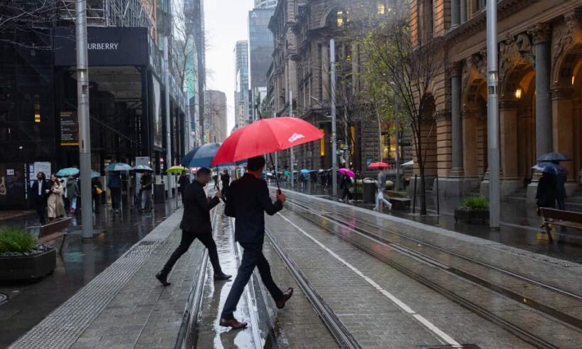
A wetter-than-usual spring is expected for much of eastern Australia, while warmer conditions will dominate across northern and southern regions, according to the Bureau of Meteorology’s (BoM) long-range weather forecast.The BoM’s outlook, released on Thursday, also suggests much of Australia will experience warmer days and nights compared to most years.Climate signals predict moisture-rich conditions and storm potential, driven by persistently warm ocean temperatures and emerging patterns in the Indian Ocean Dipole (IOD).IOD is a climate phenomenon that refers to the difference in sea-surface temperatures in opposite parts of the Indian Ocean.
So what will this spring look like?
General trends
Zhi-Weng Chua, a senior climatologist with the BoM, told SBS News spring is likely to be wetter than usual for most of the eastern half of Australia, particularly during the earlier part of the season. “For small parts of south-western Western Australia and south-western Tasmania, rainfall is likely to be below average, and then for the remaining parts, such as most of Western Australia, as well as the south-east areas of Victoria, there isn’t a strong signal for below or average rainfall,” he said.
He said there is an “increased chance” of unusually high temperatures in the north and the south-east.
Bushfire risks and storms
Chua said forecasting from the Australian Fire Authorities Council suggested an increased risk of bushfires in the northern parts of Western Australia.
“Specifically, the Dampier Peninsula, Derby Coast and parts of the Kimberley, Pilbara and Little Sandy Desert,” he said.
LISTEN TO
Study says the burning of fossil fuels responsible for 1,500 deaths
“This was because of some increased fuel loads following above-average rain,” Chua said.”The other area they noted had an increased risk of bushfires is to the south-east of the mainland. So this would be a small part of south-eastern South Australia extending into Western and south-western Victoria.”While it’s harder to predict storms due to their highly localised nature, Chua said it was likely there would be an increased likelihood of stormy conditions going into spring.
“The seasonal forecast for spring does have increased rainfall over much of Australia; it’s reasonable to expect that some of this rainfall may be driven by storms or generated by storms. But it’s difficult to be really precise,” he said.
NSW and ACT
NSW and the ACT are expected to experience above-average rainfall, particularly in the north-west of NSW. Rainfall amounts in recent decades have ranged from 100 to 300mm along the east coast, with western areas receiving less.
Daytime temperatures are likely to be cooler than usual in northern NSW but warmer in coastal and southern parts. Nights will be warmer than normal across the region.
Victoria
Victoria is forecast to experience above-average rainfall for most areas, except for the eastern parts, where rainfall is likely to range between 100 and 300mm, with some areas potentially recording up to 400mm.
Temperatures are expected to be higher than average during both the day and night throughout the state.
Queensland
Queensland is likely to experience above-average rainfall, particularly in the interior and north-east regions. Rainfall would vary widely across the state, with southern parts receiving 25 to 50mm, central regions up to 100mm, and some coastal and northern areas expecting over 200mm.
Daytime temperatures are likely to be warmer, with unusually warm overnight temperatures predicted in northern areas.
Western Australia
Western Australia is expected to experience below-average rainfall in the central and south-western parts, at around 100 to 200mm. However, other areas may experience average or near-average rainfall.
Daytime temperatures are expected to be higher than usual in the northern and western regions, while nighttime temperatures will generally be warmer, except in the southern regions.
South Australia
Most of South Australia is likely to experience above-average rainfall, with seasonal totals ranging from 50 to 400mm depending on the area.
Temperatures are forecast to be warmer during the day and night in the south-east, while other parts may have average conditions. Nights are likely to be warmer than usual.
Tasmania
Tasmania is forecast to experience above-average rainfall in the east, but below-average rainfall in the south-west. Rainfall ranges are expected to be between 400 and 1,200mm in the east and lower in other areas.
Temperatures are expected to be higher than usual, with warmer days and nights.
Northern Territory
The Northern Territory is likely to experience above-average rainfall, with some areas receiving between 50 and 400mm depending on the location.
Temperatures are expected to be warmer than average during the day and night.
What’s driving the change?
Sea surface temperatures (SSTs) are a major influence this season, according to the forecast.
July 2025 recorded 0.56C above average SSTs, making it the warmest July in Australia since 1900, with persistently warm conditions since July 2024.
These warmer oceans, especially to the north, east, and south-east, can fuel stronger storms and heavier rainfall.The El Niño–Southern Oscillation (ENSO) remains neutral, though some models hint at borderline La Niña conditions in spring.The IOD is also neutral, but signs point to a developing negative phase, which typically brings wetter conditions to southern and eastern Australia. A return to neutral is expected by early summer.
Source


