ALBUQUERQUE, N.M. — A map drafted centuries ago as Spanish settlers solidified their presence in what is now Mexico and the southwestern United States has been returned to the Mexican government, marking the end of a yearslong effort to bring the historic document home.
FBI agents and Mexican officials were joined by historians and archivists Tuesday at the consulate in Albuquerque for a celebratory handoff of the map. FBI Special Agent in Charge Justin Garris said it was more than simply ink on paper and Mexican officials described it as a significant part of their history and cultural heritage.
“This document not only enriches our collective memory but also strengthens the ties that unite Mexico and New Mexico through a shared history,” said Patricia Pinzón, Consul of Mexico in Albuquerque.
She mentioned the Camino Real de Tierra Adentro as one of those links. The 1,600-mile (2,560 kilometer) route once served as a lifeline between Mexico City and Santa Fe and is depicted as a central feature that snakes through the map. The names of communities are artfully scripted along the route as other lines radiating from the route mark rivers.
The names of Native American communities are tucked into the dots and darkened scallops that represent the valleys, mesas and mountains that span what is now central New Mexico, Taos and areas near the Colorado border.
Unlike maps of today, this one is orientated with north to the right and west at the top.
The map is one of thousands of archaeological and cultural items reclaimed by Mexico in recent years, Pinzón said. Just last month, a nearly 500-year-old priceless manuscript page signed by Spanish conquistador Hernán Cortés was returned.
Archivists in Mexico City first realized the map was gone in 2011. It was among 75 pieces that were taken from records belonging to the national archives. The physical evidence included a scar inside one volume where pages had been removed.
About five years passed with no leads.
Then came a call from a librarian at the Fray Angélico Chávez History Library at the New Mexico History Museum in Santa Fe, who was doing background research on a map that was presented to the library for sale. The librarian found evidence that the document may have been stolen, said Billy Garrett, executive director of the museum.
Mexican archivists used negatives and microfilm copies to prove that the document in Santa Fe was genuine.
It took years to work through international protocols and laws that relate to returning material stolen from other countries, but during that time Garrett said the library took great care to protect the map in a climate-controlled environment. It’s scribed on paper made of rag pulp.
The FBI held the map over the past year while final arrangements were made for Tuesday’s handoff.
“We’re very glad that it’s gone back to its rightful owners, and we were glad we got to take care of it for a while,” Garrett said.
Federal investigators say it’s not surprising that the map turned up in Santa Fe, given that the city is a major hub for dealers and collectors who are fascinated with Native American and Spanish colonial art. While they didn’t divulge any details about their investigation, they say no charges will be filed.
Manuel García y Griego, a history professor at the University of New Mexico, recalled photographing a computer image of the map about a decade ago while conducting research at the Archivo General de la Nación in Mexico City. When he first stumbled upon it, he knew it was important.
Joseph Sánchez, who founded the Spanish Colonial Research Center at UNM, had photographed a copy of the map decades earlier for his own research.
“We both found it interesting that independently we had seen this map in Mexico and considered it so important, and now we discover that it has been recovered in Santa Fe,” García y Griego said before the ceremony.
During the event, Sánchez shared several old maps that included areas far beyond the borders of present-day New Mexico, saying there’s more to the state’s history than the recovered map shows. Still, he said the map being returned to Mexico “is something quite, quite unique and it shows a different type of settlement pattern.”
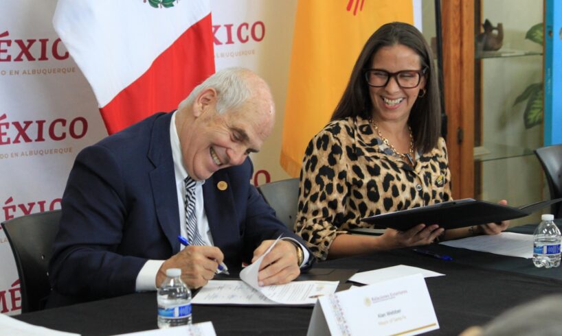
Santa Fe Mayor Alan Webber crouched down for a better look at the map. While appreciating the fine details, he said everyone in his city is a history buff. After all, Santa Fe — founded in 1610 as the seat of Spain’s Nuevo Mexico — is the oldest capital in the United States.
“We live history. It’s not something in the past. It’s part of our daily lives,” Webber said, adding that the map helps to illustrate what he described as a very old story built upon many generations and many families.
For Webber, the map also documents a sense of place that is overwhelming and still present today.
“There are lots of places that are suffering from sameness and Santa Fe and New Mexico are not places that suffer from sameness,” he said. “They are unique and special and this map bears testimony to it already having been a remarkable place.”