
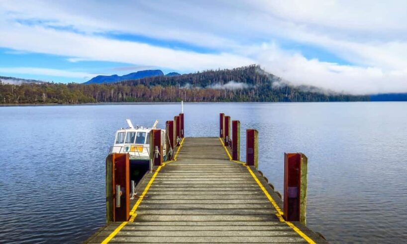
Deeper than the Bass Strait, Lake St Clair is Australia’s deepest lake, but the underwater landscape has been largely a mystery — until now. For years, people speculated the lake — which marks the end of the internationally renowned Overland Track, a multi-day hike in the Tasmanian Wilderness World Heritage area — might be as deep as 215 metres. But a CSIRO team believes they’ve finally put that mystery to rest.The team spent nine days mapping the lake with technology that, according to hydrographic surveyor Augustin Déplante, let them see it “as though they’d emptied the lake and were walking around” inside it.”I was really keen to find what the deepest point of the lake was,” Déplante said. “There’s been some wild numbers around and I could never find what that was referring to, whether it was just the depth of the lake on that day because it had rained a lot, or whether it was attached to an actual height datum.”Now, he has an answer, with the lake’s deepest point found to plunge to just over 163 metres.”It’s towards the south on the western side, just in the corner, basically,” he said.
“We can almost see the glacier would have really grinded through that corner.”
Underwater landscape revealed
Using advanced multibeam sonar and Light Detection and Ranging (LIDAR) technologies, the team has created a 3D map of the lake bed and shoreline.
A multi-beam was mounted onto CSIRO vessel RV South Cape as it travelled up and down the lake, using pulses of sound to measure the water depth, revealing a view of the lake never seen before.
CSIRO hydrographic surveyor Augustin Déplante was part of the nine-day expedition. Source: SBS News / Kerrin Thomas
“Seeing the sharp cliffs on the edges of the lake, we can clearly see some areas that have been carved by the glacier,” Déplante said. “You can see the deposits of the glacier where it would have stopped receding and dropped a lot of rocks and sediments and so on, and then kept going.”The underwater features can be clearly seen on the 3D image. “We can see the input of fresh water basically coming into the lake from the mountains and its carving through the lake floor so we have these waterfalls basically coming down into the lake and then reaching the cliffs, it’s pretty incredible to look at.”A multi-beam and LIDAR was mounted on a remotely-operated vessel called the Otter to survey the shoreline.
“It can go really shallow into regions, less than less than two meters, even less than a meter as well as long as there’s no hidden rocks or anything underneath the surface,” CSIRO research engineer, Dr Hui Sheng Lim, said.
Dr Hui Sheng Lim was among the CSIRO researchers who mapped the lake. Source: SBS News / Kerrin Thomas
“So those are the areas where the big vessel won’t be able to get to.” The Otter revealed areas close to shore with sharp drop-offs. “You’ll see how quick that actually dropped from the shoreline, all the way down to 50 meters,” he said.
“You can see a meter here, and then next moment you are in a 10-metre zone, and next moment you’re already 30 metres, 50 metres deep.”
The area is known for its strong winds and unpredictable weather. Source: SBS News / Kerrin Thomas
Otter can also operate autonomously, following a precise, pre-planned path.
“One of the most useful features is we will be able to autonomously find gaps and find the best way to cover those missing gaps in our data sets,” he said.
‘Most peaceful place on this planet’
Michael Croghan has been running Lake St Clair Lodge at the southern end of the lake for almost 20 years. “Personally, I would describe the lake as my church,” he said. “It is the most peaceful place on this planet. I may be biased, but so many other people are also saying the same thing. It’s visually stunning, never the same two days in a row.”It’s the most phenomenal place to swim, because it’s the cleanest air and the cleanest water in the world.”
One of Michael Croghan’s most prized possessions is a bottle of gin lowered to the bottom of the lake. Source: SBS News / Kerrin Thomas
One of his prized possessions is a bottle of gin a team of researchers lowered to the bottom of the lake a few years ago. “Just for giggles one night I said to them, would you take a bottle of gin, put it on the bottom of the lake and take a photograph? And they’re like, Yeah, sure. So I’m like, okay, great. So they did.” The bottle is always close at hand behind the bar.
“It’s now been depth tested I think that was to about 120 metres,” he said.
Snow, wind and swell
Tasmania’s wilderness is known for its unpredictability and the team encountered snow, big swells and blustery winds as they undertook their work. “It’s been amazing: it’s so wild all around the lake so you’re very much amongst the elements all day long,” Déplante said.
“Being on a small boat, like South Cape, sometimes I felt like I was in the Southern Ocean, basically.”
The team encountered snow, big swells and blustery winds as they conducted their research. Source: SBS News / Kerrin Thomas
The detailed data collected will be made public, providing an important resource, it’s hoped will fuel further study of Lake St Clair. “When I saw that the deepest lake in Australia had never been surveyed with the multi-beam I was very surprised but I guess if it was easy to do it would have already been done.” And while the lake is known as a home for platypus, it’s not known if something bigger lurks under the surface. “No weird monsters or anything, yet,” Déplante said.
Source