

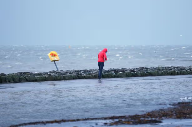
Ireland is bracing itself for a dramatic weather turnaround over the course of 48 hours, as bitter overnight temperatures make way for thunderstorms before an abrupt shift towards milder yet increasingly unsettled conditions.
Met Éireann has warned that the coming days will deliver a noticeably volatile weather pattern, with contrasting air masses arriving in rapid succession, causing conditions to change dramatically.
The first shift arrives tonight as temperatures nosedive. Most areas are expected to remain dry, but it will turn bitterly cold with the mercury plunging to an unseasonable -1C in places. Frost and icy patches are also anticipated to form overnight.
However, that cold snap won’t linger, as conditions change once again on Monday. Following a bright opening with sunny intervals, scattered and slow-moving showers are expected to develop throughout the afternoon and evening. Some of these will be heavy, bringing hail and even the possibility of lightning, with temperatures sitting between 9C and 11C.
Come Tuesday, milder and more humid Atlantic air will push in from the west, nudging temperatures into double figures. This will, however, usher in increasingly unsettled conditions, with cloud building and spells of heavy rain sweeping across the country.
The contrast becomes all the more striking overnight, with temperatures remaining considerably higher at between 7C and 10C — a stark difference from the frosty conditions experienced just 48 hours previously. Looking further into the week, Wednesday and Thursday are expected to stay humid yet unsettled, with scattered rain and breezy conditions. However, Met Éireann has added: “Some pockets of mild sunshine may occur though.”
Providing a detailed day-by-day outlook, the national forecaster said: “Fairly blustery Sunday with sunshine and passing heavy showers pushing eastwards, bringing the chance of hail. Showers will merge to some longer spells of rain across Ulster. During the afternoon, showers will begin to fade across West and Southwest with mostly dry weather extending nationwide by evening. Just the odd shower will follow at that stage. Relatively cool with highest temperatures of 8C to 11C with fresh and gusty westerly winds gradually easing.
“Most areas will be dry and calm Sunday night under clear skies. However, some heavy showers will affect the west of Ulster with the odd heavy shower along the Atlantic seaboard. A cold night with some frost and icy patches. Lows of -1C to 3C.
“After a mostly dry and bright start on Monday with sunny spells, scattered slow-moving showers will develop for the afternoon and early evening. Some of the showers will bring hail with the chance of lightning, mainly across northwest areas. Highest temperatures of 9C to 11C in just light southerly winds.
“Dry Monday night with clear spells early on in the night. Increasing cloud, along with scattered outbreaks of rain and drizzle, will feed into Connacht and Munster later. Rather chilly with lowest temperatures of 1C to 5C , coldest across northern and eastern areas with the chance of some late season frost. Southwest winds will be no more than moderate in strength.
“Some bright or sunny spells across Ulster and Leinster Tuesday. However, it will be cloudy and breezy nationwide by late morning as scattered outbreaks of rain and drizzle across Munster and Connacht extend northeastwards. The rain will turn heavier in the evening across western counties. Some hill, mist and coastal fog too. Highest temperatures of 10C to 14C.
“Wet and breezy overnight Tuesday with some heavy bursts, especially for southern counties. Mild and breezy with lowest temperatures of 7C to 10C , in a fresh southerly wind.
“Once again it will be a mild, cloudy and breezy day Wednesday with scattered outbreaks of rain and drizzle. Some pockets of mild sunshine may occur though. Highest temperatures of 11C to 16C , in a mostly fresh southwest wind.
“Longer drier spells to begin with some sunny spells locally. Fairly breezy too though, with patchy outbreaks of drizzle. Later in the afternoon and evening, more general rain is likely to push up from the southwest. Highest temperatures of 11C to 16C in a moderate to fresh southwest wind.”
For all the latest breaking news headlines today, visit our website home page.
Join Galway Beo’s top stories and breaking news service on WhatsApp.
Click this link to receive breaking news and the latest headlines direct to your phone.
We also treat our community members to special offers, promotions, and adverts from us and our partners.
If you don’t like our community, you can check out any time you like.
If you’re curious, you can read our Privacy Notice.